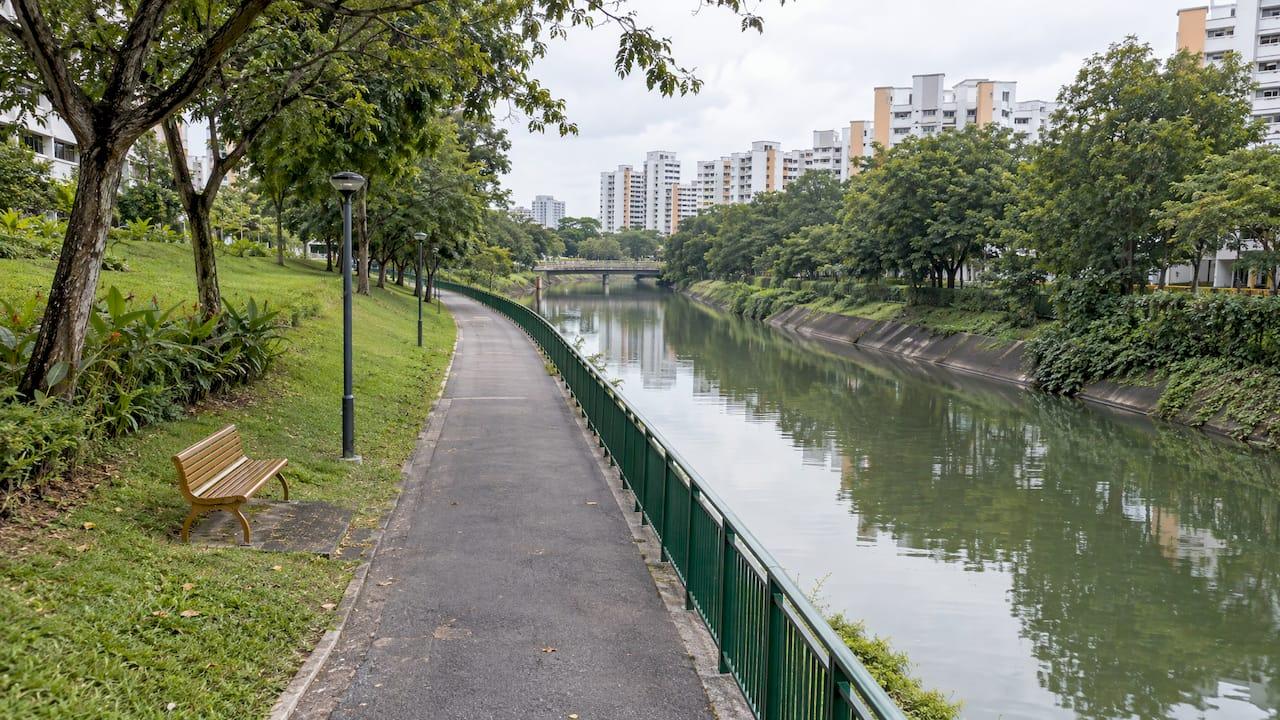
Hougang sits on the doorstep of the North Eastern Riverine Loop, so a walk or ride on a park connector starts close to home. Two routes serve the estate directly: the 4.4 km Hougang Avenue 3 Park Connector and the 4.2 km Serangoon Park Connector. From there you can reach Sengkang, Buangkok and Punggol Park without crossing a main road on foot. This guide shows where each route begins and ends, how they join, and what to check before you set out.
TL;DR
- The Hougang Avenue 3 Park Connector is 4.4 km long and ends at Airport Road. It links Hougang to the North Eastern Riverine Loop through the Serangoon Park Connector.
- The Serangoon Park Connector runs 4.2 km from Tampines Road along Hougang Avenue 7 and Buangkok Drive to Sengkang East Road.
- Further north, the Sungei Serangoon route (2.1 km) and the Punggol route (6.1 km) carry you to Punggol Promenade.
- Punggol Park, 16 hectares, has a lake, bike rentals and is open 24 hours.
- Check the NParks notices page before any longer ride: closures and wildlife advisories are posted there.
Table of Contents
- What a park connector is, in plain terms
- The routes closest to Hougang
- Route summary at a glance
- How the routes join into a loop
- Punggol Park: the park everyone asks about
- What to check before you go
- Walking, jogging or cycling: which suits you
- Why green access matters when choosing where to live in Hougang
- Perspective
- Living above Hougang MRT, with the connectors close by
- How the rail link fits with your park routes
- A sample weekend using the connectors
- FAQ
- Sources
What a park connector is, in plain terms
A park connector is a continuous path, usually for walking, jogging and cycling, that links parks and neighborhoods along canals, rivers and roads. Together they form the Park Connector Network (PCN), run by the National Parks Board (NParks), Singapore's parks authority. NParks says the network is designed so visitors can hop between major parks on foot, by bike or on rollerblades.
For a Hougang resident, that means the green space is not limited to one park. You can string several short routes into a loop and pick the length that suits the day: a 30-minute walk after dinner, a weekend ride, or a stroller outing with children.
The routes closest to Hougang
Hougang Avenue 3 Park Connector
This is the connector that most directly serves Hougang homes. NParks lists it at 4.4 km, running along Hougang Avenue 3 and ending at Airport Road. Its real value is what it connects to: according to NParks, it links Hougang residents to the North Eastern Riverine Loop via the Serangoon Park Connector.
In practice, treat it as your on-ramp. Start here, and every route below becomes reachable on the same trip.
Serangoon Park Connector
The Serangoon Park Connector is the one people searching for "Serangoon park connector" usually want. It is 4.2 km long and starts at Tampines Road, then runs along Hougang Avenue 7 and Buangkok Drive. It ends at the junction of Sengkang East Road and Buangkok Green.
The same NParks page notes a good level of biodiversity along the route, including Grey Herons, Little Egrets and kingfishers. Bring a small pair of binoculars on a quiet morning and you may spot them without leaving the path.

Sungei Serangoon Park Connector
Continue north and you reach the 2.1 km Sungei Serangoon Park Connector. It starts at the junction of Sengkang East Drive and Buangkok Drive, runs along Sengkang East Drive and ends at Punggol East. It is the middle link that turns two separate outings into one continuous ride.
Punggol Park Connector
The Punggol Park Connector is the longest of the group at 6.1 km. It starts at Gerald Drive, follows Punggol Reservoir and the Straits of Johor, and ends at Punggol Promenade. This is the waterfront stretch, the one to choose for a sunset ride.
Route summary at a glance
| Route | Length | Starts | Ends |
|---|---|---|---|
| Hougang Avenue 3 PC | 4.4 km | Along Hougang Avenue 3 | Airport Road |
| Serangoon PC | 4.2 km | Tampines Road | Sengkang East Road and Buangkok Green |
| Sungei Serangoon PC | 2.1 km | Sengkang East Drive and Buangkok Drive | Punggol East |
| Punggol PC | 6.1 km | Gerald Drive | Punggol Promenade |
Lengths and endpoints come from NParks' own route pages. Add them up and the chain from Hougang to Punggol Promenade is long enough for a half-day ride, yet each leg works on its own for a short walk.
How the routes join into a loop
The connectors are part of the North Eastern Riverine Loop. An official NParks factsheet from 2012 describes the loop as covering Buangkok, Punggol, Hougang and Sengkang, and as linking Punggol Park, Punggol Waterway Park, Punggol Point Park and Sengkang Riverside Park.
A simple way to plan it:
- Join the network from Hougang Avenue 3.
- Follow the link onto the Serangoon Park Connector towards Buangkok and Sengkang.
- Continue along Sungei Serangoon to Punggol East.
- Finish on the Punggol Park Connector at Punggol Promenade, or turn back.
For a first outing, ride only as far as you are comfortable returning. The return leg is the same distance, and in Singapore's heat it feels longer than it looks on a map.
Punggol Park: the park everyone asks about
Searchers often type "Punggol Park Hougang" because Punggol Park sits right at the Hougang edge, at the junction of Hougang Avenue 8 and 10. It is a 16-hectare park with a lake and bike rentals, it is wheelchair accessible and it is open 24 hours.
That combination makes it the practical "first stop" for different households:
- Families with young children get a lake, open lawns and smooth paths.
- Retirees get step-free access and a place to meet neighbors at any hour.
- Young professionals can use it as a run or ride waypoint without needing their own bicycle, since rentals are on site.
Note that Punggol Park is separate from the Punggol Park Connector, which is the 6.1 km waterfront route. The names are similar, so check which one a map pin refers to.
What to check before you go
NParks posts closures, diversions and safety advisories on its PCN notices page. Look at it before a longer ride, because a diverted section can add a detour to a loop you planned.
Two advisories on that page are worth knowing if you head to the far end of the loop. At the Punggol Promenade Nature Walk, part of the North Eastern Riverine Loop, visitors are advised to keep to designated paths because wild boars have been sighted. NParks also reminds visitors to be aware of box jellyfish in Singapore waters.
A short checklist that costs nothing:
- Open the notices page the day you ride.
- Carry water; shade varies along the route.
- Keep to marked paths in nature areas.
- Give pedestrians priority and slow down at junctions and crossings.
- Start early or late; midday sun is the main reason casual riders cut a trip short.
Walking, jogging or cycling: which suits you
The connectors are built for mixed use, and the right choice depends on your day.
Walking suits the shorter legs. The 2.1 km Sungei Serangoon route is an easy one-way walk, and a return trip is around 4 km.
Jogging works well on the Hougang Avenue 3 and Serangoon routes. At 4.4 km and 4.2 km, a single leg is a standard training distance.
Cycling opens the full chain. Combined, the four routes above give you more than 16 km of connected path, so a round trip to Punggol Promenade is a proper ride. Rent a bike at Punggol Park if you do not own one.
Why green access matters when choosing where to live in Hougang
Most buyers weigh a home on commute, schools and price. Daily green space belongs on that list too, because it is the part of the neighborhood you use without planning. A connector within reach changes how a household spends an evening: children can cycle, parents can run without driving, and grandparents get a flat, shaded route close to home.
Families also ask how outdoor time fits around structured activities. For parents weighing nature versus indoor enrichment for kids, a connector network on the doorstep makes the outdoor half easy to build into a normal week.
For the commute side of the same question, our location and connectivity guide covers rail and road links, and the schools near Hougang Central Residences page covers the education side.
Perspective
When people compare homes in Hougang, they usually start with the train line. We think the better test is what a normal Tuesday evening looks like. Can you be home within minutes of leaving work, and then be on a green path within minutes of putting your shoes on?
Hougang answers both. The MRT sits at the center of the estate, and the park connectors run out from it towards Serangoon, Sengkang and Punggol. That is why we describe Hougang Central Residences as a home where transit and daily life are integrated, with tropical landscaped communal spaces and wellness and social facilities on site, and the wider network a short step beyond.
For different buyers it means different things. A young professional gets a direct train home and a run route in the same neighborhood. A family gets a place for children to cycle. A retiree gets a community-centric setting with flat, accessible paths nearby. An investor gets a location where daily convenience is easy to explain to future tenants.
Our advice is to walk the route yourself before you decide. See how the neighborhood feels at the time of day you would actually use it.
Simon
Living above Hougang MRT, with the connectors close by
Hougang Central Residences is a 835-unit condominium built above Hougang MRT station, integrated with a retail mall and a bus interchange. Units range from 1-bedroom plus study to 5-bedroom penthouses, with smart-home systems and premium European fittings. The development is planned with a direct link to the future Cross Island Line interchange, which adds a second rail line at the same station.
Pricing starts from S$2,800 per sq ft. Browse the residences and unit types to see which layout fits your household, and the site plan to understand how the development is organized.
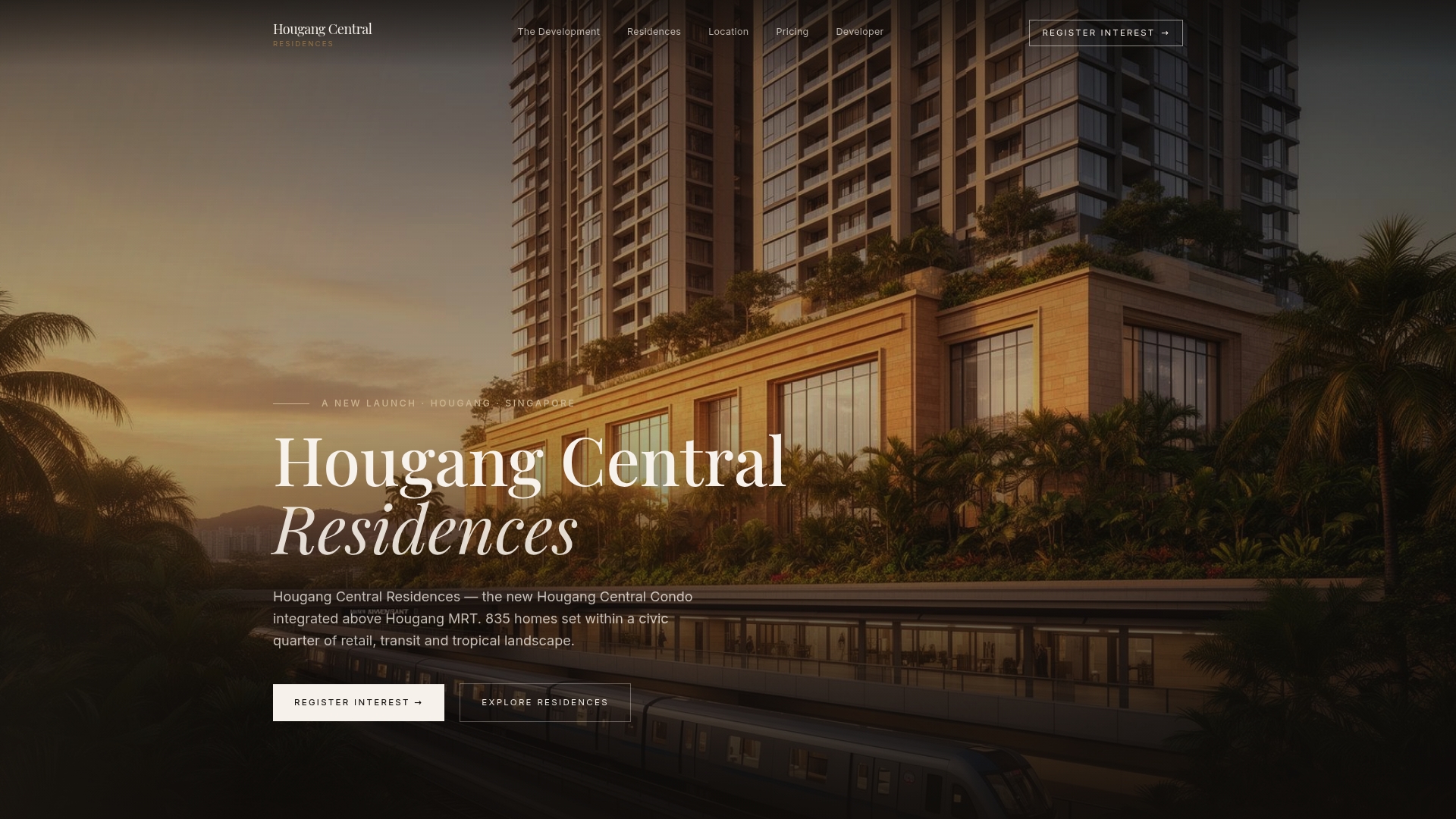
If you want to see the neighborhood alongside the home, register your interest through the Hougang Central Residences site, and plan your showflat visit around a walk on the Hougang Avenue 3 connector.
How the rail link fits with your park routes
A connector gives you the weekend; the MRT gives you the weekday. Both matter to the same buyer. To see how the rail side develops, read about the Cross Island Line and what it means for residents, or the practical breakdown of the Hougang to CBD commute.
If you are comparing several MRT-linked homes, the buyer's guide to MRT interchange connectivity sets out what to weigh: number of lines, exits and the walk from your door to the platform.
A sample weekend using the connectors
Here is how a household might use the routes in practice, using only the distances above.
Saturday morning, an easy start. Walk onto the Hougang Avenue 3 Park Connector with children or older relatives. A 4.4 km one-way route is long, but you can turn back at any point. Aim for a short out-and-back and stop for a drink on return.
Saturday evening, Punggol Park. Visit the lake and rent a bicycle if you need one. The park is open 24 hours, so timing is flexible, and the lake makes it a good place to cool down after a warm afternoon.
Sunday, the long ride. Join the Serangoon Park Connector, continue to Sungei Serangoon, then follow the Punggol route to Punggol Promenade. Before you leave, read the notices page and stay on designated paths at the Nature Walk.
None of this needs a car, a membership or a booking. That is the quiet advantage of living where the network starts.

FAQ
Is there a park connector in Hougang?
Yes. The Hougang Avenue 3 Park Connector is 4.4 km long and ends at Airport Road. It links Hougang residents to the North Eastern Riverine Loop through the Serangoon Park Connector, so one path gives you access to Sengkang, Buangkok and Punggol routes.
How long is the Serangoon Park Connector?
NParks lists the Serangoon Park Connector at 4.2 km. It starts at Tampines Road, runs along Hougang Avenue 7 and Buangkok Drive, and ends at the junction of Sengkang East Road and Buangkok Green. The Sungei Serangoon route, a separate 2.1 km connector, continues from Buangkok Drive towards Punggol East.
Where is Punggol Park, and can I rent a bike there?
Punggol Park is at the junction of Hougang Avenue 8 and 10. It covers 16 hectares and has a lake. NParks lists bike rentals, wheelchair accessibility and 24-hour opening, so it works for early runs and late evening walks alike.
Are there any safety notices I should know about?
NParks posts closures and advisories on its PCN notices page. At the Punggol Promenade Nature Walk, visitors are advised to keep to designated paths because wild boars have been sighted, and to be aware of box jellyfish in Singapore waters. Check the page on the day you ride.
Can I cycle all the way from Hougang to Punggol?
The routes are designed to link, and NParks describes the network as one that lets you move between major parks by foot, bike or rollerblade. Combine the Hougang Avenue 3, Serangoon, Sungei Serangoon and Punggol connectors for the full run, and confirm any diversions on the notices page first.
Sources
- Hougang Avenue 3 Park Connector, Park Connector Network
- Serangoon Park Connector, Park Connector Network
- Sungei Serangoon Park Connector, Park Connector Network
- Punggol Park Connector, Park Connector Network
- Punggol Park, NParks
- Notices, Park Connector Network
- Check out the network, Park Connector Network
- Media factsheet on PCN and the North Eastern Riverine Loop, National Archives of Singapore